Choose Which Site You Want To See


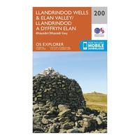
Ordnance Survey Explorer 200 Llandrindod Wells & Elan Valley & Rhayader Map With Digital Version, Orange: The essential map for outdoor activities in Llandrindod Wells and Elan Valley and Rhayader. The OS Explorer Map is the...

Ordnance Survey Explorer 200 Llandrindod Wells & Elan Valley & Rhayader Map With Digital Version, Orange: The essential map for outdoor activities in Llandrindod Wells and Elan Valley and Rhayader. The OS Explorer Map is the...

Explorer 200 Llandrindod Wells & Elan Valley & Rhayader Map With Digital Version: The essential map for outdoor activities in Llandrindod Wells and Elan Valley and Rhayader. The OS Explorer Map is the...
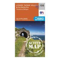
Ordnance Survey Explorer Active 108 Lower Tamar Valley & Plymouth Map With Digital Version, Orange: The essential map for outdoor activities in all weathers in Lower Tamar Valley and Plymouth. The OS Explorer Active Map...
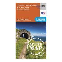
Ordnance Survey Explorer Active 108 Lower Tamar Valley & Plymouth Map With Digital Version, Orange: The essential map for outdoor activities in all weathers in Lower Tamar Valley and Plymouth. The OS Explorer Active Map...
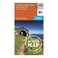
Explorer Active 108 Lower Tamar Valley & Plymouth Map With Digital Version: The essential map for outdoor activities in all weathers in Lower Tamar Valley and Plymouth. The OS Explorer Active Map...
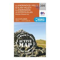
Ordnance Survey Explorer Active 200 Llandrindod Wells & Elan Valley Map With Digital Version, Orange: The essential map for outdoor activities in all weathers in Llandrindod Wells and Elan Valley. The OS Explorer Active...

Ordnance Survey Explorer Active 200 Llandrindod Wells & Elan Valley Map With Digital Version, Orange: The essential map for outdoor activities in all weathers in Llandrindod Wells and Elan Valley. The OS Explorer Active...

Explorer Active 200 Llandrindod Wells & Elan Valley Map With Digital Version: The essential map for outdoor activities in all weathers in Llandrindod Wells and Elan Valley. The OS Explorer Active...
Ordnance Survey Explorer 108 Lower Tamar Valley & Plymouth Map With Digital Version, Orange: The essential map for outdoor activities in Lower Tamar Valley and Plymouth. The OS Explorer Map is the Ordnance...
Ordnance Survey Explorer 108 Lower Tamar Valley & Plymouth Map With Digital Version, Orange: The essential map for outdoor activities in Lower Tamar Valley and Plymouth. The OS Explorer Map is the Ordnance...
Explorer 108 Lower Tamar Valley & Plymouth Map With Digital Version: The essential map for outdoor activities in Lower Tamar Valley and Plymouth. The OS Explorer Map is the Ordnance...
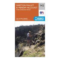
Ordnance Survey Explorer 142 Shepton Mallet & Mendip Hills East Map With Digital Version, Orange: The essential map for outdoor activities in Shepton Mallet and Mendip Hills East. The OS Explorer Map is the Ordnance...
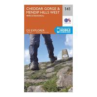
Ordnance Survey Explorer 141 Cheddar Gorge & Mendip Hills West Map With Digital Version, Orange: The essential map for outdoor activities in Cheddar Gorge and Mendip Hills West. The OS Explorer Map is the Ordnance...
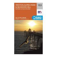
Ordnance Survey Explorer 153 Weston-super-mare & Bleadon Hill Map With Digital Version, Orange: The essential map for outdoor activities in Weston-Super-Mare and Bleadon Hill. The OS Explorer Map is the Ordnance...
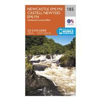
Ordnance Survey Explorer 185 Newcastle Emlyn, Llandysul & Cynwyl Elfed Map With Digital Version, Orange: The essential map for outdoor activities in Newcastle Emlyn, Llandysul and Cynwyl Elfed. The OS Explorer Map is the...
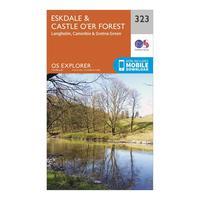
Ordnance Survey Explorer 323 Eskdale & Castle O\'er Forest Map With Digital Version, Orange: The essential map for outdoor activities in Eskdale and Castle O\'er Forest. The OS Explorer Map is the Ordnance...
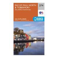
Ordnance Survey Explorer 374 Isle Of Mull North & Tobermory Map With Digital Version, Orange: The essential map for outdoor activities in Isle of Mull North and Tobermory. The OS Explorer Map is the Ordnance...
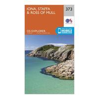
Ordnance Survey Explorer 373 Iona, Staffa & Ross Of Mull Map With Digital Version, Orange: The essential map for outdoor activities in Iona, Staffa and Ross of Mull. The OS Explorer Map is the Ordnance...
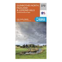
Ordnance Survey Explorer 370 Glenrothes North, Falkland & Lomond Hills Map With Digital Version, Orange: The essential map for outdoor activities in Glenrothes North, Falkland and Lomond Hills. The OS Explorer Map is the...