Choose Which Site You Want To See


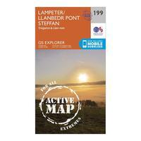
Ordnance Survey Explorer Active 199 Lampeter, Tregaron & Llan-non Map With Digital Version, Orange: The essential map for outdoor activities in all weathers in Lampeter, Tregaron and Llan-non. The OS Explorer Active Map is the Ordnance Survey\'s most detailed folding map and is recommended for anyone enjoying outdoor activities including walking, horse riding and off-road cycling. This map now comes with a digital version which you can download to your smartphone or tablet. Providing complete GB coverage, the OS Explorer map series details information essential in the great outdoors, including...

Ordnance Survey Explorer Active 199 Lampeter, Tregaron & Llan-non Map With Digital Version, Orange: The essential map for outdoor activities in all weathers in Lampeter, Tregaron and Llan-non. The OS Explorer Active Map is the Ordnance Survey\'s most detailed folding map and is recommended for anyone enjoying outdoor activities including walking, horse riding and off-road cycling. This map now comes with a digital version which you can download to your smartphone or tablet. Providing complete GB coverage, the OS Explorer map series details information essential in the great outdoors, including...

Explorer Active 199 Lampeter, Tregaron & Llan-non Map With Digital Version: The essential map for outdoor activities in all weathers in Lampeter, Tregaron and Llan-non. The OS Explorer Active Map is the Ordnance Surveyâs most detailed folding map and is recommended for anyone enjoying outdoor activities including walking, horse riding and off-road cycling. This map now comes with a digital version which you can download to your smartphone or tablet.
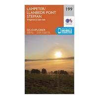
Ordnance Survey Explorer 199 Lampeter, Tregaron & Llan-non Map With Digital Version, Orange: The essential map for outdoor activities in Lampeter, Tregaron and Llan-non. The OS Explorer Map is the Ordnance Survey\'s most detailed folding map and is recommended for anyone enjoying outdoor activities including walking, horse riding and off-road cycling. This map now comes with a digital version which you can download to your smartphone or tablet. Providing complete GB coverage, the OS Explorer map series details information essential in the great outdoors, including youth hostels, pubs...

Ordnance Survey Explorer 199 Lampeter, Tregaron & Llan-non Map With Digital Version, Orange: The essential map for outdoor activities in Lampeter, Tregaron and Llan-non. The OS Explorer Map is the Ordnance Survey\'s most detailed folding map and is recommended for anyone enjoying outdoor activities including walking, horse riding and off-road cycling. This map now comes with a digital version which you can download to your smartphone or tablet. Providing complete GB coverage, the OS Explorer map series details information essential in the great outdoors, including youth hostels, pubs...

Explorer 199 Lampeter, Tregaron & Llan-non Map With Digital Version: The essential map for outdoor activities in Lampeter, Tregaron and Llan-non. The OS Explorer Map is the Ordnance Surveyâs most detailed folding map and is recommended for anyone enjoying outdoor activities including walking, horse riding and off-road cycling. This map now comes with a digital version which you can download to your smartphone or tablet.
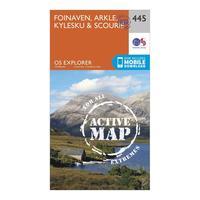
Ordnance Survey Explorer Active 445 Foinaven, Arkle, Kylesku & Scourie Map With Digital Version, Orange: The essential map for outdoor activities in all weathers in Foinaven, Arkle, Kylesku and Scourie. The OS Explorer Active Map is the Ordnance Survey\'s most detailed folding map and is recommended for anyone enjoying outdoor activities including walking, horse riding and off-road cycling. This map now comes with a digital version which you can download to your smartphone or tablet. Providing complete GB coverage, the OS Explorer map series details information essential in the great outdoors,...
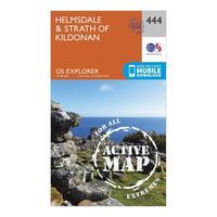
Ordnance Survey Explorer Active 444 Helmsdale & Strath Of Kildonan Map With Digital Version, Orange: The essential map for outdoor activities in all weathers in Helmsdale and Strath of Kildonan. The OS Explorer Active Map is the Ordnance Survey\'s most detailed folding map and is recommended for anyone enjoying outdoor activities including walking, horse riding and off-road cycling. This map now comes with a digital version which you can download to your smartphone or tablet. Providing complete GB coverage, the OS Explorer map series details information essential in the great outdoors,...
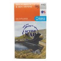
Ordnance Survey Explorer Active 443 Ben Klibreck & Ben Armine Map With Digital Version, Orange: The essential map for outdoor activities in all weathers in Ben Klibreck and Ben Armine. The OS Explorer Active Map is the Ordnance Survey\'s most detailed folding map and is recommended for anyone enjoying outdoor activities including walking, horse riding and off-road cycling. This map now comes with a digital version which you can download to your smartphone or tablet. Providing complete GB coverage, the OS Explorer map series details information essential in the great outdoors, including...
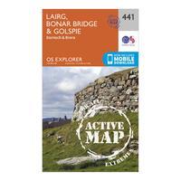
Ordnance Survey Explorer Active 441 Lairg, Bonar Bridge & Golspie Map With Digital Version, Orange: The essential map for outdoor activities in all weathers in Lairg, Bonar Bridge and Golspie. The OS Explorer Active Map is the Ordnance Survey\'s most detailed folding map and is recommended for anyone enjoying outdoor activities including walking, horse riding and off-road cycling. This map now comes with a digital version which you can download to your smartphone or tablet. Providing complete GB coverage, the OS Explorer map series details information essential in the great outdoors, including...
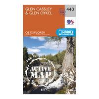
Ordnance Survey Explorer Active 440 Glen Cassley & Glen Oykel Map With Digital Version, Orange: The essential map for outdoor activities in all weathers in Glen Cassley and Glen Oykel. The OS Explorer Active Map is the Ordnance Survey\'s most detailed folding map and is recommended for anyone enjoying outdoor activities including walking, horse riding and off-road cycling. This map now comes with a digital version which you can download to your smartphone or tablet. Providing complete GB coverage, the OS Explorer map series details information essential in the great outdoors, including...
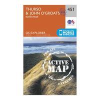
Ordnance Survey Explorer Active 451 Thurso & John O\'grates Map With Digital Version, Orange: The essential map for outdoor activities in all weathers in Thurso and John o\'Grates. The OS Explorer Active Map is the Ordnance Survey\'s most detailed folding map and is recommended for anyone enjoying outdoor activities including walking, horse riding and off-road cycling. This map now comes with a digital version which you can download to your smartphone or tablet. Providing complete GB coverage, the OS Explorer map series details information essential in the great outdoors, including youth...
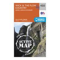
Ordnance Survey Explorer Active 450 Wick & The Flow Country Map With Digital Version, Orange: The essential map for outdoor activities in all weathers in Wick and The Flow Country. The OS Explorer Active Map is the Ordnance Survey\'s most detailed folding map and is recommended for anyone enjoying outdoor activities including walking, horse riding and off-road cycling. This map now comes with a digital version which you can download to your smartphone or tablet. Providing complete GB coverage, the OS Explorer map series details information essential in the great outdoors, including youth...
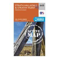
Ordnance Survey Explorer Active 449 Strath Halladale & Strathy Point Map With Digital Version, Orange: The essential map for outdoor activities in all weathers in Strath Halladale and Strathy Point. The OS Explorer Active Map is the Ordnance Survey\'s most detailed folding map and is recommended for anyone enjoying outdoor activities including walking, horse riding and off-road cycling. This map now comes with a digital version which you can download to your smartphone or tablet. Providing complete GB coverage, the OS Explorer map series details information essential in the great outdoors,...
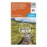
Ordnance Survey Explorer Active 448 Strath Naver & Loch Loyal Map With Digital Version, Orange: The essential map for outdoor activities in all weathers in Strath Naver and Loch Loyal. The OS Explorer Active Map is the Ordnance Survey\'s most detailed folding map and is recommended for anyone enjoying outdoor activities including walking, horse riding and off-road cycling. This map now comes with a digital version which you can download to your smartphone or tablet. Providing complete GB coverage, the OS Explorer map series details information essential in the great outdoors, including...
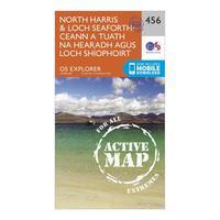
Ordnance Survey Explorer Active 284 North Harris & Loch Seaforth Map With Digital Version, Orange: The essential map for outdoor activities in all weathers in North Harris and Loch Seaforth. The OS Explorer Active Map is the Ordnance Survey\'s most detailed folding map and is recommended for anyone enjoying outdoor activities including walking, horse riding and off-road cycling. This map now comes with a digital version which you can download to your smartphone or tablet. Providing complete GB coverage, the OS Explorer map series details information essential in the great outdoors, including...
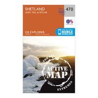
Ordnance Survey Explorer Active 470 Shetland - Unst, Yell & Fetlar Map With Digital Version, Orange: The essential map for outdoor activities in all weathers in Shetland - Unst, Yell and Fetlar. The OS Explorer Active Map is the Ordnance Survey\'s most detailed folding map and is recommended for anyone enjoying outdoor activities including walking, horse riding and off-road cycling. This map now comes with a digital version which you can download to your smartphone or tablet. Providing complete GB coverage, the OS Explorer map series details information essential in the great outdoors,...
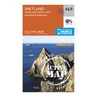
Ordnance Survey Explorer Active 469 Shetland - Mainland North West Map With Digital Version, Orange: The essential map for outdoor activities in all weathers in Shetland - Mainland North West. The OS Explorer Active Map is the Ordnance Survey\'s most detailed folding map and is recommended for anyone enjoying outdoor activities including walking, horse riding and off-road cycling. This map now comes with a digital version which you can download to your smartphone or tablet. Providing complete GB coverage, the OS Explorer map series details information essential in the great outdoors, including...
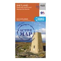
Ordnance Survey Explorer Active 468 Shetland - Mainland North East Map With Digital Version, Orange: The essential map for outdoor activities in all weathers in Shetland - Mainland North East. The OS Explorer Active Map is the Ordnance Survey\'s most detailed folding map and is recommended for anyone enjoying outdoor activities including walking, horse riding and off-road cycling. This map now comes with a digital version which you can download to your smartphone or tablet. Providing complete GB coverage, the OS Explorer map series details information essential in the great outdoors, including...
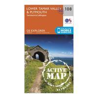
Ordnance Survey Explorer Active 108 Lower Tamar Valley & Plymouth Map With Digital Version, Orange: The essential map for outdoor activities in all weathers in Lower Tamar Valley and Plymouth. The OS Explorer Active Map is the Ordnance Survey\'s most detailed folding map and is recommended for anyone enjoying outdoor activities including walking, horse riding and off-road cycling. This map now comes with a digital version which you can download to your smartphone or tablet. Providing complete GB coverage, the OS Explorer map series details information essential in the great outdoors, including...