Choose Which Site You Want To See


Explorer Active Ol 43 Hadrian\'s Wall Map: The essential map for outdoor activities in all weathers in Hadrian\'s Wall. The OS Explorer Active Map is the Ordnance Surveyâs most detailed folding map and is recommended for anyone enjoying outdoor activities including walking, horse riding and off-road cycling. This map now comes with a digital version which you can download to your smartphone or tablet.

Ordnance Survey Explorer Active Ol 43 Hadrian\'s Wall Map, Orange: The essential map for outdoor activities in all weathers in Hadrian\'s Wall. The OS Explorer Active Map is the Ordnance Survey\'s most detailed folding map and is recommended for anyone enjoying outdoor activities including walking, horse riding and off-road cycling. This map now comes with a digital version which you can download to your smartphone or tablet. Colour Swatch:OrangeBrand:ORDNANCE SURVEYColour:Orange

Ordnance Survey Explorer Active Ol 43 Hadrian\'s Wall Map, Orange: The essential map for outdoor activities in all weathers in Hadrian\'s Wall. The OS Explorer Active Map is the Ordnance Survey\'s most detailed folding map and is recommended for anyone enjoying outdoor activities including walking, horse riding and off-road cycling. This map now comes with a digital version which you can download to your smartphone or tablet. Colour Swatch:OrangeBrand:ORDNANCE SURVEYColour:Orange
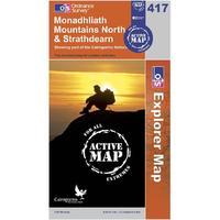
Ordnance Survey Explorer Active 417 Monadhliath Mountains North & Strathdearn Map, Orange: Find all the best walks, routes, landmarks, points of interest and some terrific scenic drives with the wipe-clean 1:25000 scale Ordnance Survey Explorer Active 417 Monadhliath Mountains North & Strathdearn Map. The wipe-clean 1:25000 scale Ordnance Survey OS Explorer Active 417 Monadhliath Mountains North & Strathdearn Map will give you all the information you need to make any visit to the area special. With its 4cm to 1km (2 1/2 inches to 1 mile) scale, the OS Explorer Map series has been...
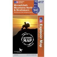
Ordnance Survey Explorer Active 417 Monadhliath Mountains North & Strathdearn Map, Orange: Find all the best walks, routes, landmarks, points of interest and some terrific scenic drives with the wipe-clean 1:25000 scale Ordnance Survey Explorer Active 417 Monadhliath Mountains North & Strathdearn Map. The wipe-clean 1:25000 scale Ordnance Survey OS Explorer Active 417 Monadhliath Mountains North & Strathdearn Map will give you all the information you need to make any visit to the area special. With its 4cm to 1km (2 1/2 inches to 1 mile) scale, the OS Explorer Map series has been...
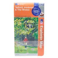
Ordnance Survey Explorer Active 242 Telford, Ironbridge & The Wrekin Map, Assorted: Find all the best walks, routes, landmarks, points of interest and some terrific scenic drives with the wipe clean 1:25000 scale Ordnance Survey Explorer Active 242 Telford, Ironbridge & The Wrekin Map. Colour Swatch:AssortedBrand:ORDNANCE SURVEYColour:Assorted
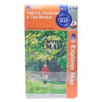
Ordnance Survey Explorer Active 242 Telford, Ironbridge & The Wrekin Map, Assorted: Find all the best walks, routes, landmarks, points of interest and some terrific scenic drives with the wipe clean 1:25000 scale Ordnance Survey Explorer Active 242 Telford, Ironbridge & The Wrekin Map. Colour Swatch:AssortedBrand:ORDNANCE SURVEYColour:Assorted

Explorer Ol 43 Hadrianâs Wall Map: Discover over 2000 years of history and walk in the footsteps of the Romans with the Explorer OL 43, a detailed Ordnance Survey map which takes in a large section of Hadrianâs Wall and some of the most dramatic country in England. Points of great interest along this route include Corbridge, Hexham, Haydon Bridge, Houseteads, Chesters Roman Fort and Vindolanda.

Ordnance Survey Explorer Ol 43 Hadrian\'s Wall Map, Orange: Discover over 2000 years of history and walk in the footsteps of the Romans with the Explorer OL 43, a detailed Ordnance Survey map which takes in a large section of Hadrian\'s Wall and some of the most dramatic country in England. Points of great interest along this route include Corbridge, Hexham, Haydon Bridge, Houseteads, Chesters Roman Fort and Vindolanda. Colour Swatch:OrangeBrand:ORDNANCE SURVEYColour:Orange

Ordnance Survey Explorer Ol 43 Hadrian\'s Wall Map, Orange: Discover over 2000 years of history and walk in the footsteps of the Romans with the Explorer OL 43, a detailed Ordnance Survey map which takes in a large section of Hadrian\'s Wall and some of the most dramatic country in England. Points of great interest along this route include Corbridge, Hexham, Haydon Bridge, Houseteads, Chesters Roman Fort and Vindolanda. Colour Swatch:OrangeBrand:ORDNANCE SURVEYColour:Orange
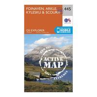
Ordnance Survey Explorer Active 445 Foinaven, Arkle, Kylesku & Scourie Map With Digital Version, Orange: The essential map for outdoor activities in all weathers in Foinaven, Arkle, Kylesku and Scourie. The OS Explorer Active Map is the Ordnance Survey\'s most detailed folding map and is recommended for anyone enjoying outdoor activities including walking, horse riding and off-road cycling. This map now comes with a digital version which you can download to your smartphone or tablet. Providing complete GB coverage, the OS Explorer map series details information essential in the great outdoors,...
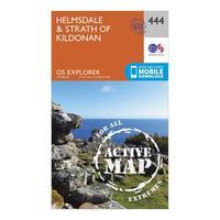
Ordnance Survey Explorer Active 444 Helmsdale & Strath Of Kildonan Map With Digital Version, Orange: The essential map for outdoor activities in all weathers in Helmsdale and Strath of Kildonan. The OS Explorer Active Map is the Ordnance Survey\'s most detailed folding map and is recommended for anyone enjoying outdoor activities including walking, horse riding and off-road cycling. This map now comes with a digital version which you can download to your smartphone or tablet. Providing complete GB coverage, the OS Explorer map series details information essential in the great outdoors,...
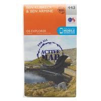
Ordnance Survey Explorer Active 443 Ben Klibreck & Ben Armine Map With Digital Version, Orange: The essential map for outdoor activities in all weathers in Ben Klibreck and Ben Armine. The OS Explorer Active Map is the Ordnance Survey\'s most detailed folding map and is recommended for anyone enjoying outdoor activities including walking, horse riding and off-road cycling. This map now comes with a digital version which you can download to your smartphone or tablet. Providing complete GB coverage, the OS Explorer map series details information essential in the great outdoors, including...
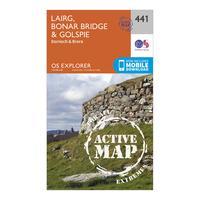
Ordnance Survey Explorer Active 441 Lairg, Bonar Bridge & Golspie Map With Digital Version, Orange: The essential map for outdoor activities in all weathers in Lairg, Bonar Bridge and Golspie. The OS Explorer Active Map is the Ordnance Survey\'s most detailed folding map and is recommended for anyone enjoying outdoor activities including walking, horse riding and off-road cycling. This map now comes with a digital version which you can download to your smartphone or tablet. Providing complete GB coverage, the OS Explorer map series details information essential in the great outdoors, including...
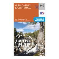
Ordnance Survey Explorer Active 440 Glen Cassley & Glen Oykel Map With Digital Version, Orange: The essential map for outdoor activities in all weathers in Glen Cassley and Glen Oykel. The OS Explorer Active Map is the Ordnance Survey\'s most detailed folding map and is recommended for anyone enjoying outdoor activities including walking, horse riding and off-road cycling. This map now comes with a digital version which you can download to your smartphone or tablet. Providing complete GB coverage, the OS Explorer map series details information essential in the great outdoors, including...
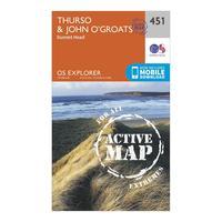
Ordnance Survey Explorer Active 451 Thurso & John O\'grates Map With Digital Version, Orange: The essential map for outdoor activities in all weathers in Thurso and John o\'Grates. The OS Explorer Active Map is the Ordnance Survey\'s most detailed folding map and is recommended for anyone enjoying outdoor activities including walking, horse riding and off-road cycling. This map now comes with a digital version which you can download to your smartphone or tablet. Providing complete GB coverage, the OS Explorer map series details information essential in the great outdoors, including youth...
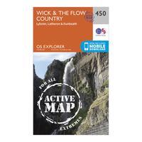
Ordnance Survey Explorer Active 450 Wick & The Flow Country Map With Digital Version, Orange: The essential map for outdoor activities in all weathers in Wick and The Flow Country. The OS Explorer Active Map is the Ordnance Survey\'s most detailed folding map and is recommended for anyone enjoying outdoor activities including walking, horse riding and off-road cycling. This map now comes with a digital version which you can download to your smartphone or tablet. Providing complete GB coverage, the OS Explorer map series details information essential in the great outdoors, including youth...
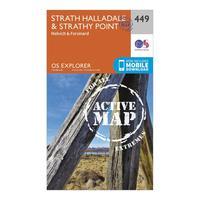
Ordnance Survey Explorer Active 449 Strath Halladale & Strathy Point Map With Digital Version, Orange: The essential map for outdoor activities in all weathers in Strath Halladale and Strathy Point. The OS Explorer Active Map is the Ordnance Survey\'s most detailed folding map and is recommended for anyone enjoying outdoor activities including walking, horse riding and off-road cycling. This map now comes with a digital version which you can download to your smartphone or tablet. Providing complete GB coverage, the OS Explorer map series details information essential in the great outdoors,...
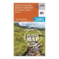
Ordnance Survey Explorer Active 448 Strath Naver & Loch Loyal Map With Digital Version, Orange: The essential map for outdoor activities in all weathers in Strath Naver and Loch Loyal. The OS Explorer Active Map is the Ordnance Survey\'s most detailed folding map and is recommended for anyone enjoying outdoor activities including walking, horse riding and off-road cycling. This map now comes with a digital version which you can download to your smartphone or tablet. Providing complete GB coverage, the OS Explorer map series details information essential in the great outdoors, including...
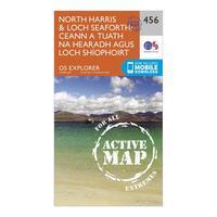
Ordnance Survey Explorer Active 284 North Harris & Loch Seaforth Map With Digital Version, Orange: The essential map for outdoor activities in all weathers in North Harris and Loch Seaforth. The OS Explorer Active Map is the Ordnance Survey\'s most detailed folding map and is recommended for anyone enjoying outdoor activities including walking, horse riding and off-road cycling. This map now comes with a digital version which you can download to your smartphone or tablet. Providing complete GB coverage, the OS Explorer map series details information essential in the great outdoors, including...